$60.00 CAD
| /
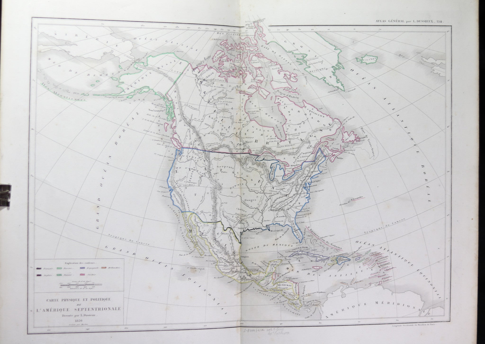
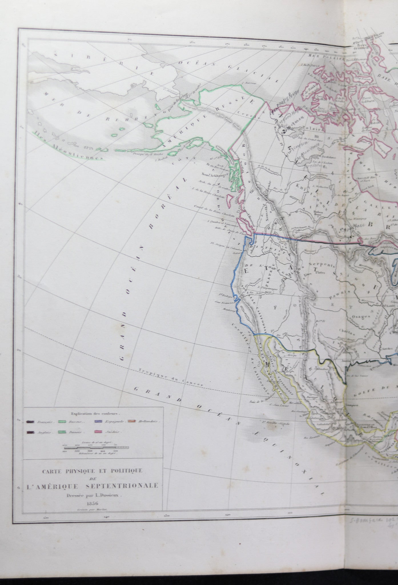
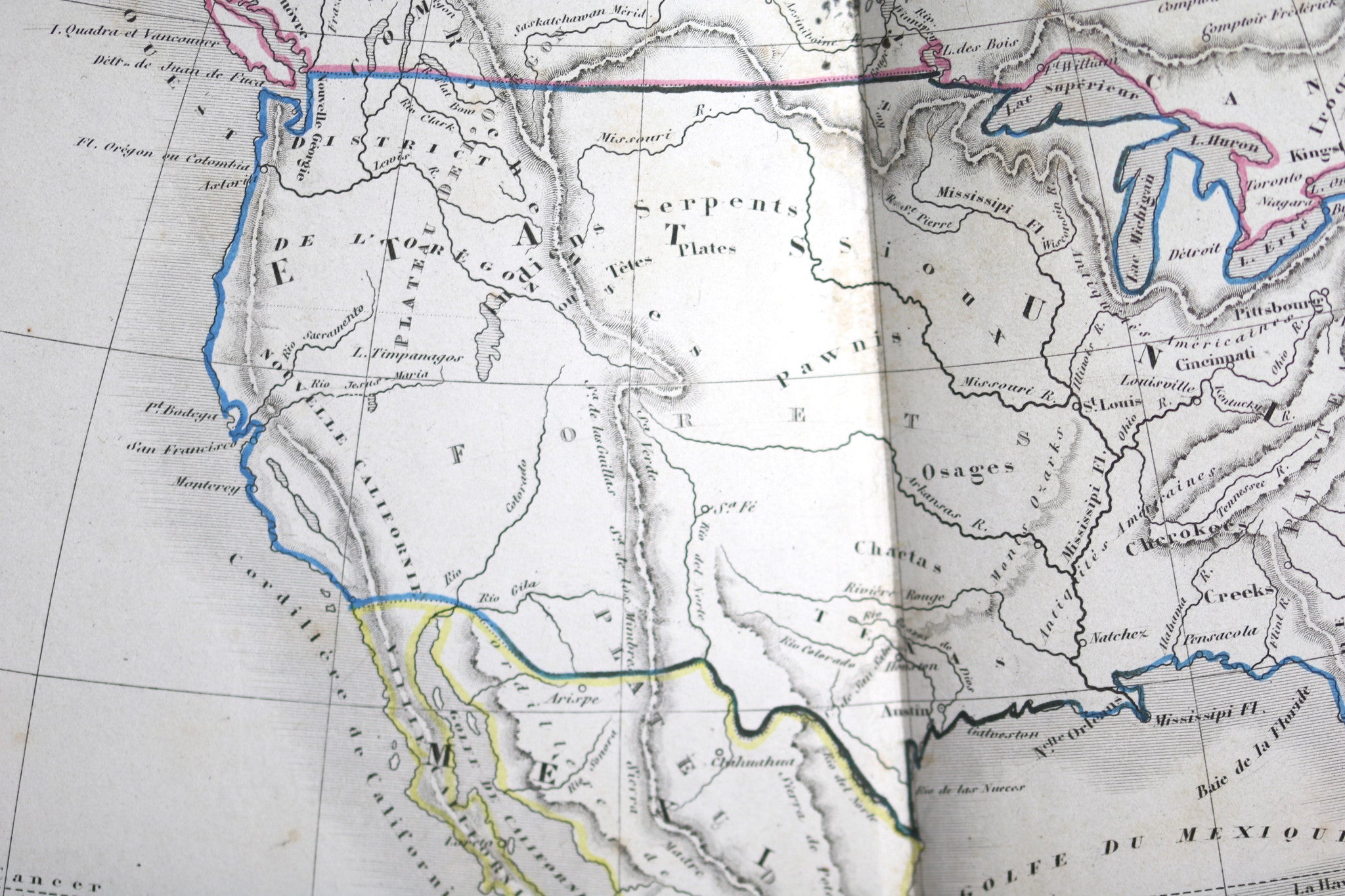
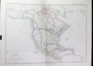
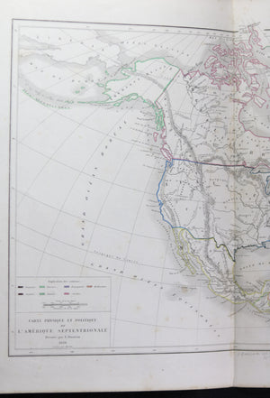
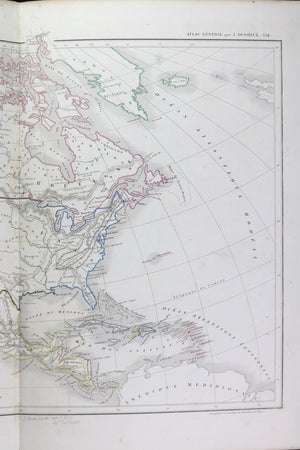
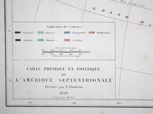
Map titled
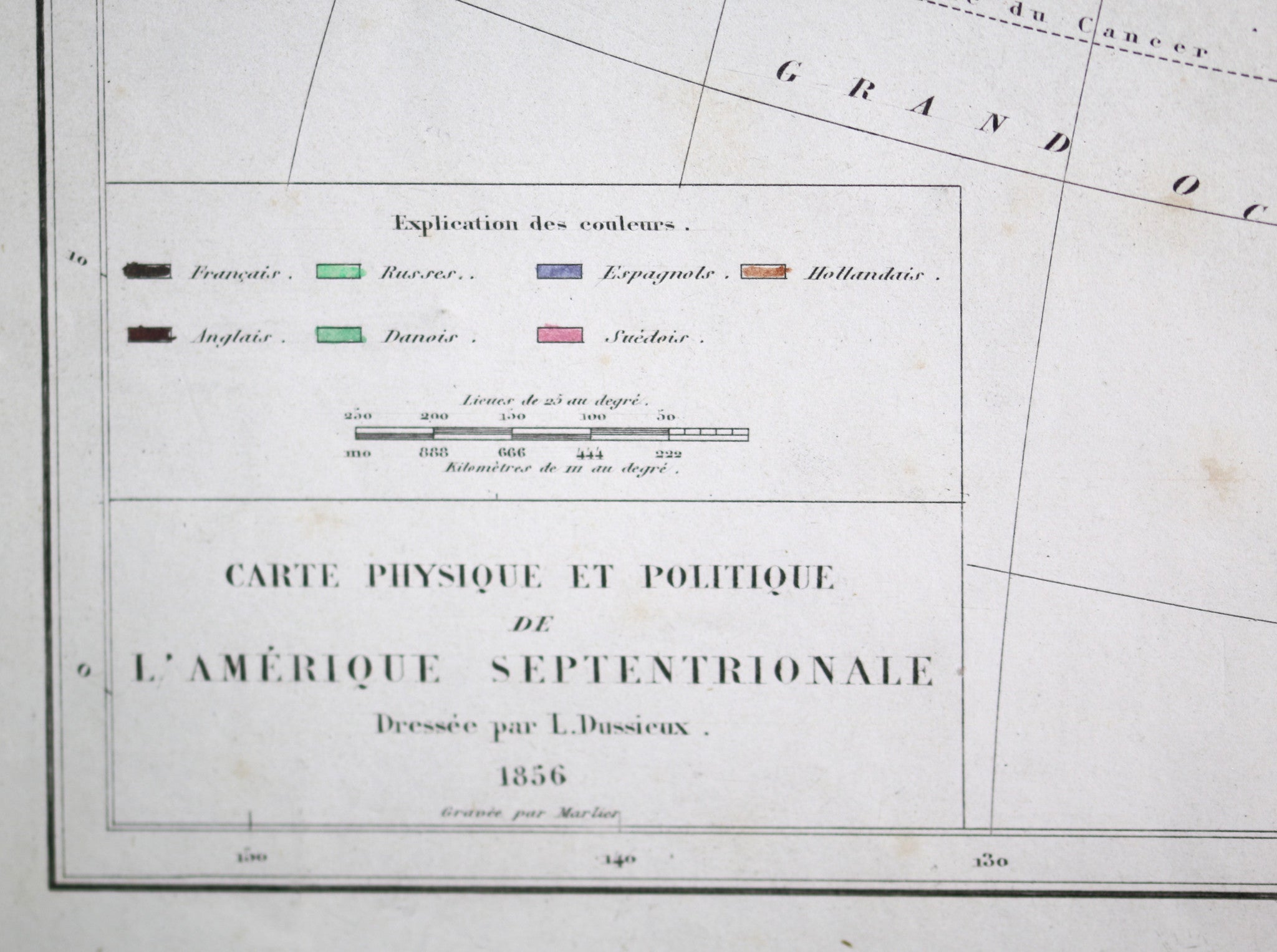
‘Carte Physique et Politique de l'AMERIQUE SEPTENTRIONALE Dressé par L. Dussieux 1856 Gravé par Marlier’
Physical and political map of North America Created by L. Dussieux 1856, Engraved by Marlier
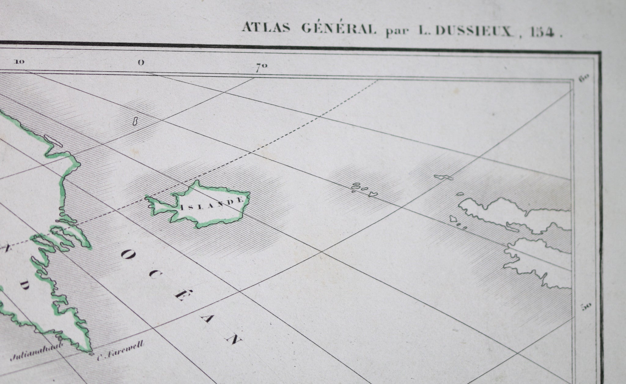
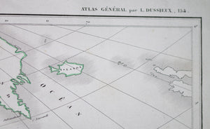
'ATLAS GENERAL par L. DUSSIEUX 154’ Extracted from ‘Atlas General de Geographie Physique, Politique et Histoire' by L. Dussieux, Page 154.
Index LL gives colour coding for territory ownership: French, Russian, Spanish, Dutch, English, Danish, Swedish.
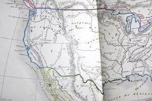
Alaska still identified as Russian. SW area called 'New California', Canada called New Britain!
Indian tribe names in Canada and US, Eskimo in Northern Quebec.
Folded in two, as issued.
Nice condition. Bit of yellowing along edges. Pencil notation at bottom. Some light rust spots and smudges.
33.5 x 44.5 cm / 13.25” x 17.5”
Louis-Étienne Dussieux, born April 5 1815, died 11th February 1894, was a French historian and geographer.
WIKIPEDIA