$75.00 CAD
– Sold Out| /
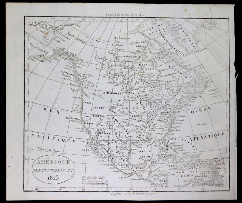
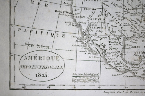
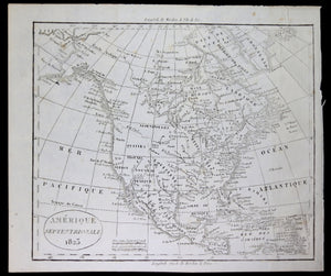
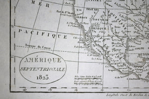
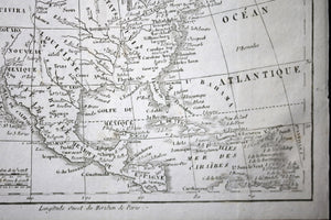
Cartouche has 'AMERIQUE SEPTENTRIONALE 1823'.
Legend has distances in both English miles and French leagues.
Top margin has 'Longitude Meridien de l'Ile de Fer', or 'Meridian longitude from Iron Island'. Iron Island was the old European standard point for measuring longitude. It is the westernmost island of the Canary archipelago.
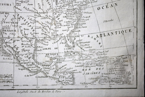
Bottom margin has 'Longitude Ouest du Meridien de Paris', or 'West Longitude Meridian from Paris'.
Interesting to see how there was at the time a peninsula off the coast of California.
Comes from Vosgien's 'Dictionnaire Géographique ou Description De Toutes Les Parties Du Monde Paris, 1823'.
Folded for insertion into a book. Some browning spots, mostly visible on the back of the map but one UL corner, one UR margin.
8" x 9 ½" // 20.5 x 24 cm