$325.00 CAD
| /
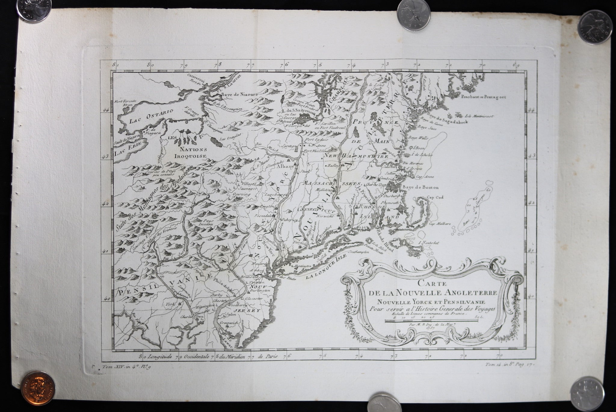
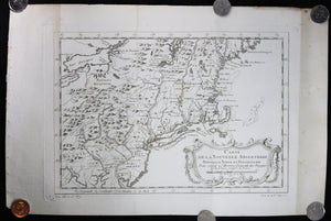
Below map, info from book that it was inserted into.
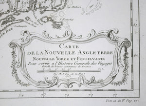
(LL) Tom. XIV, in 4o, No. 9 (LR) Tom 14, in 8o, Pag. 17
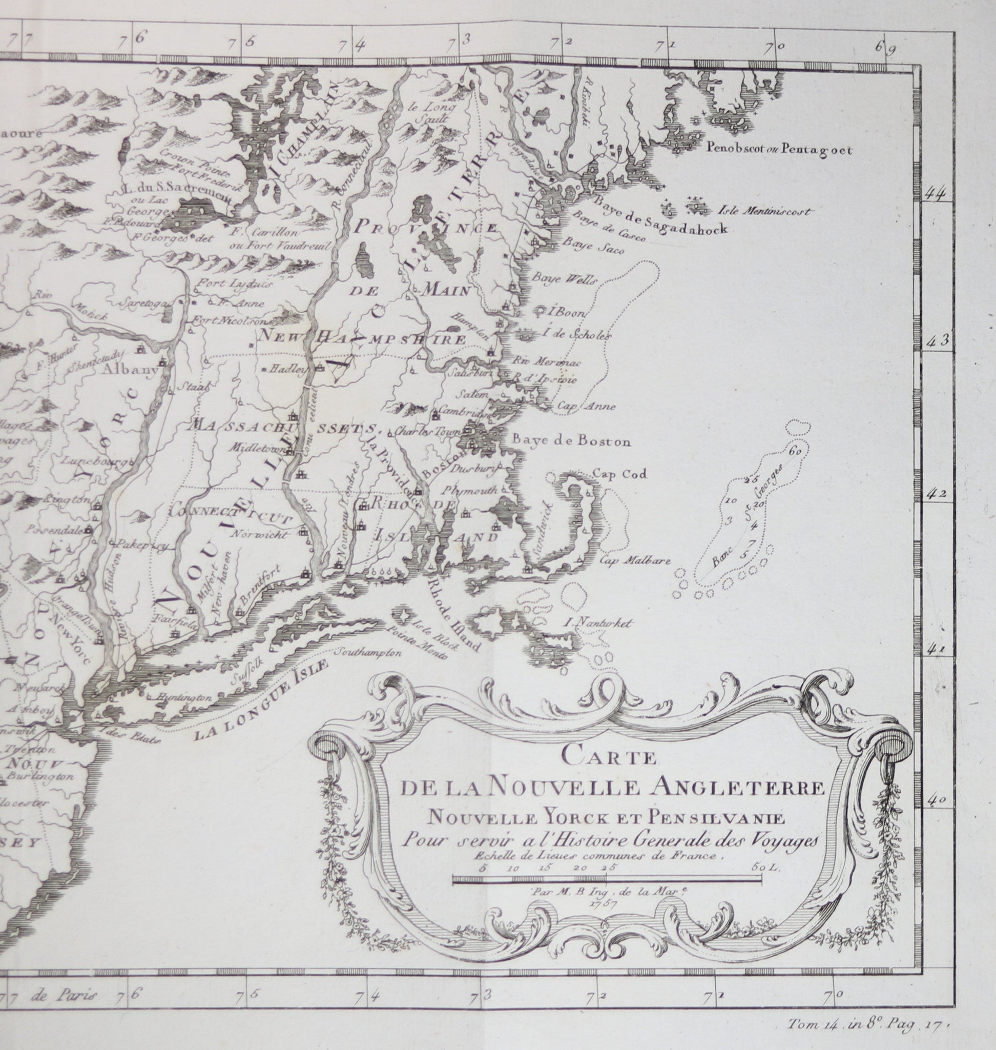
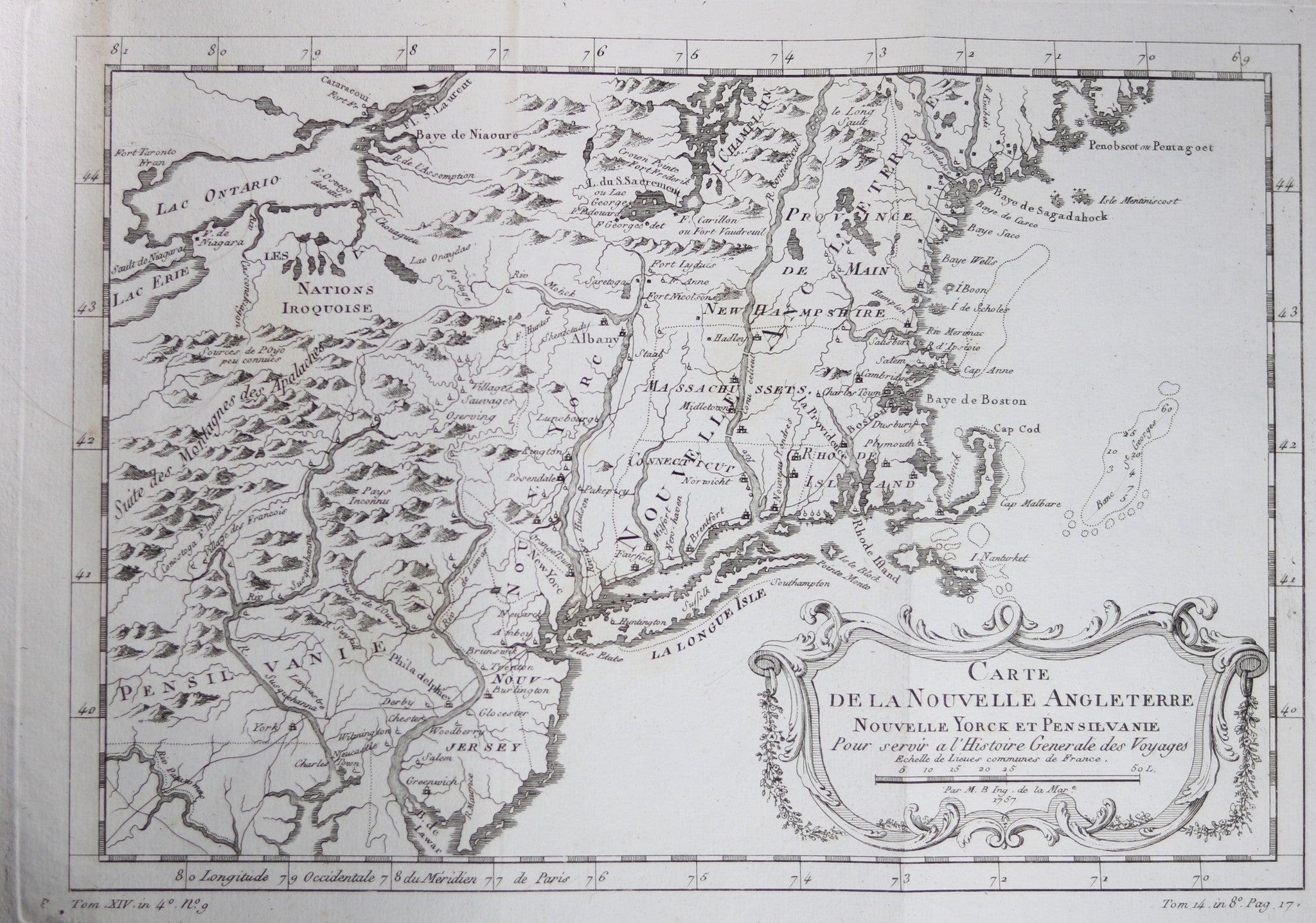
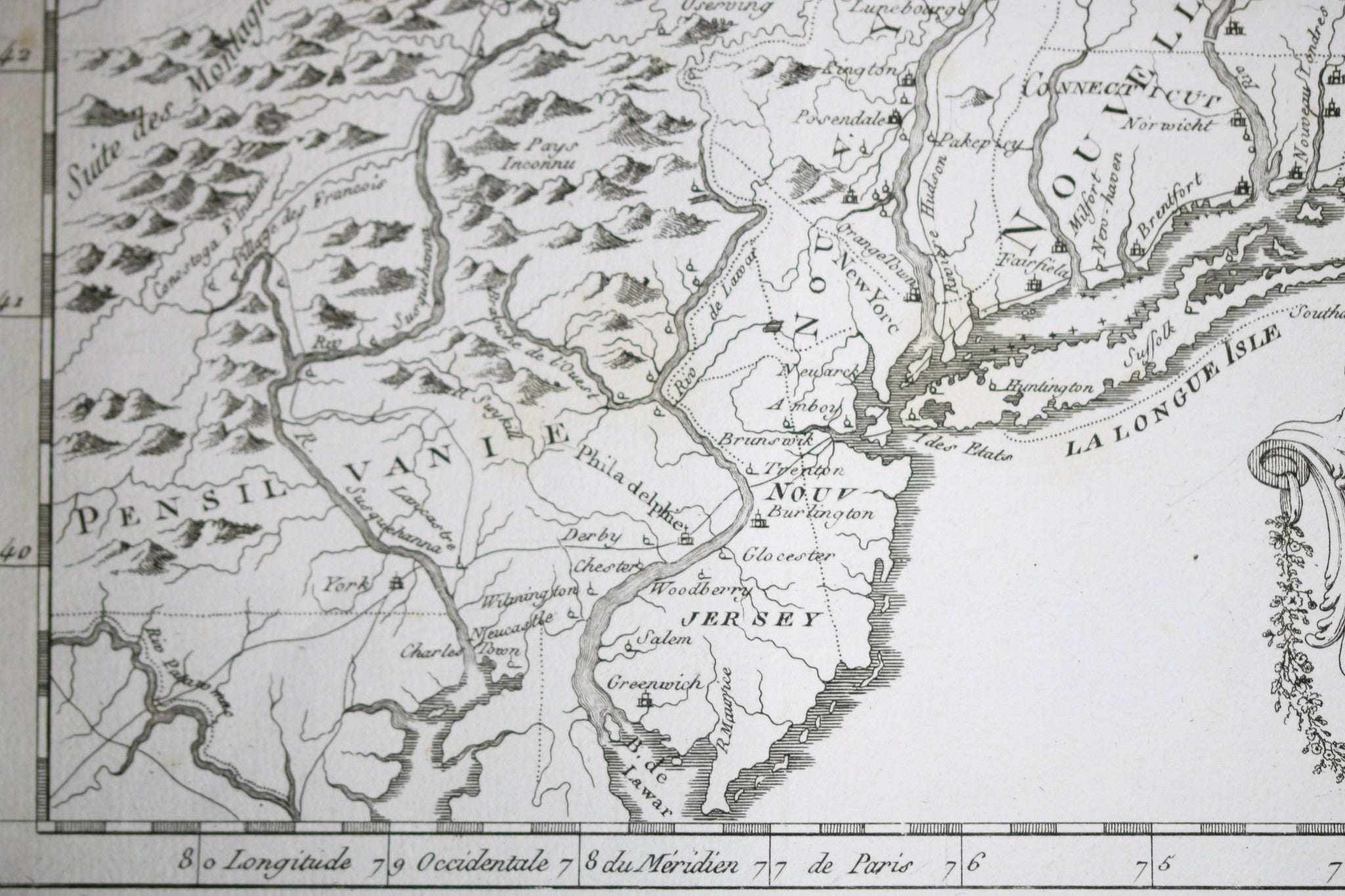
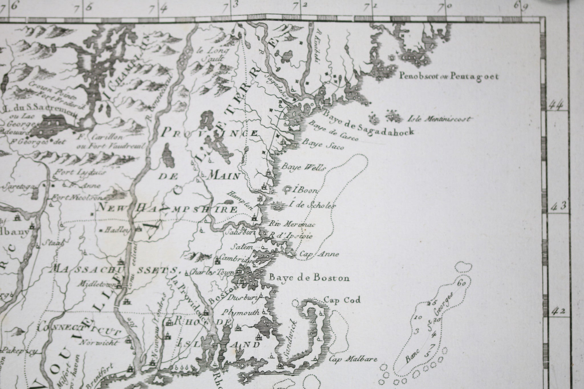
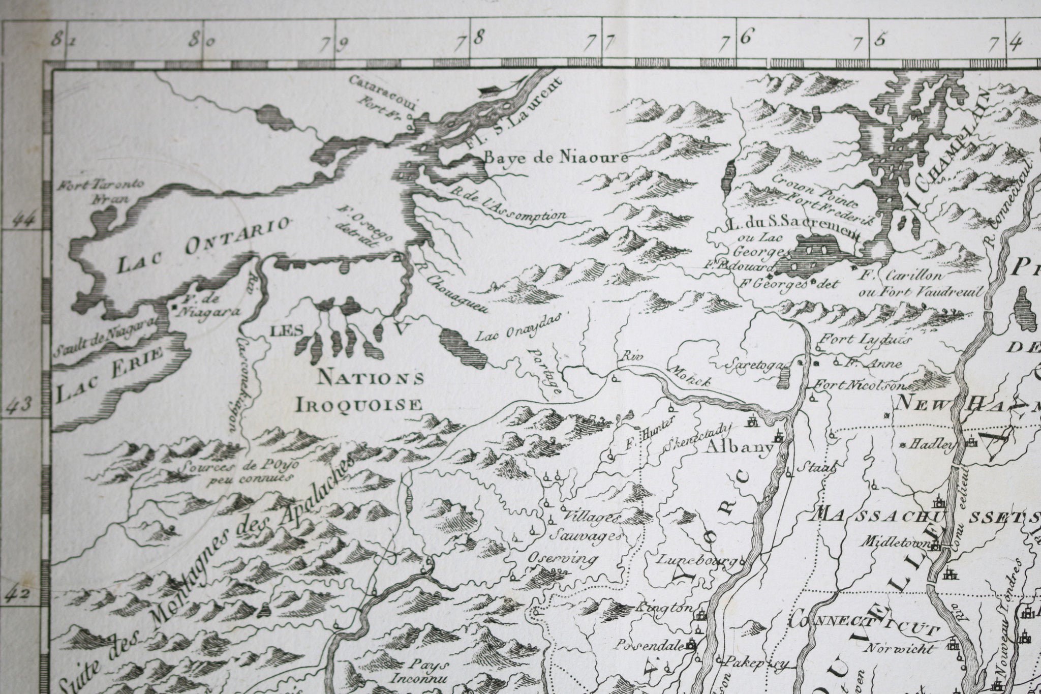
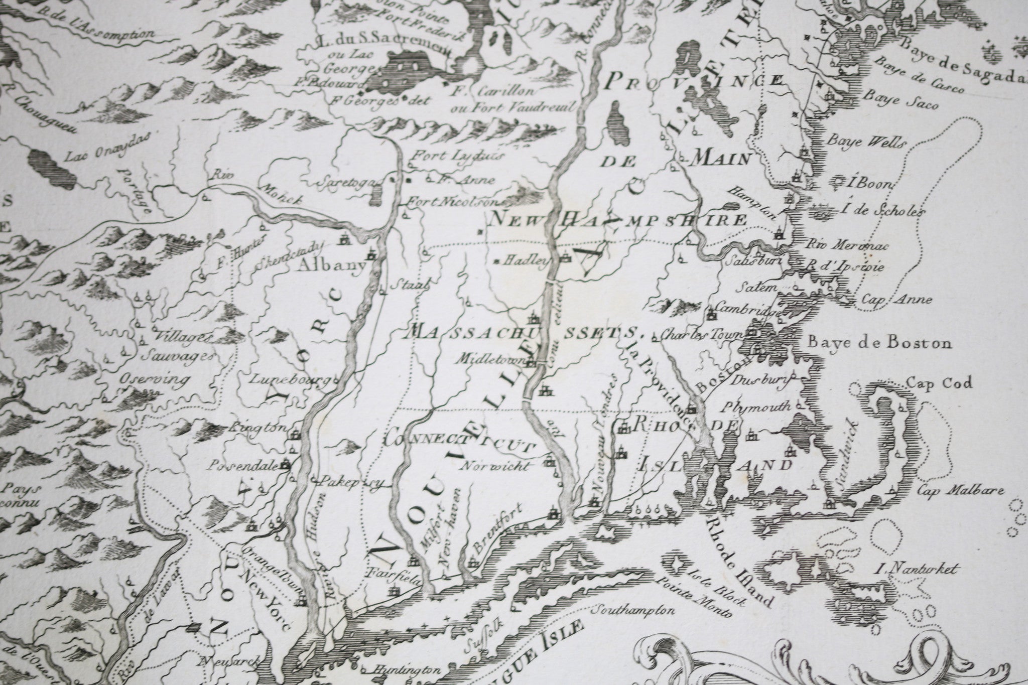
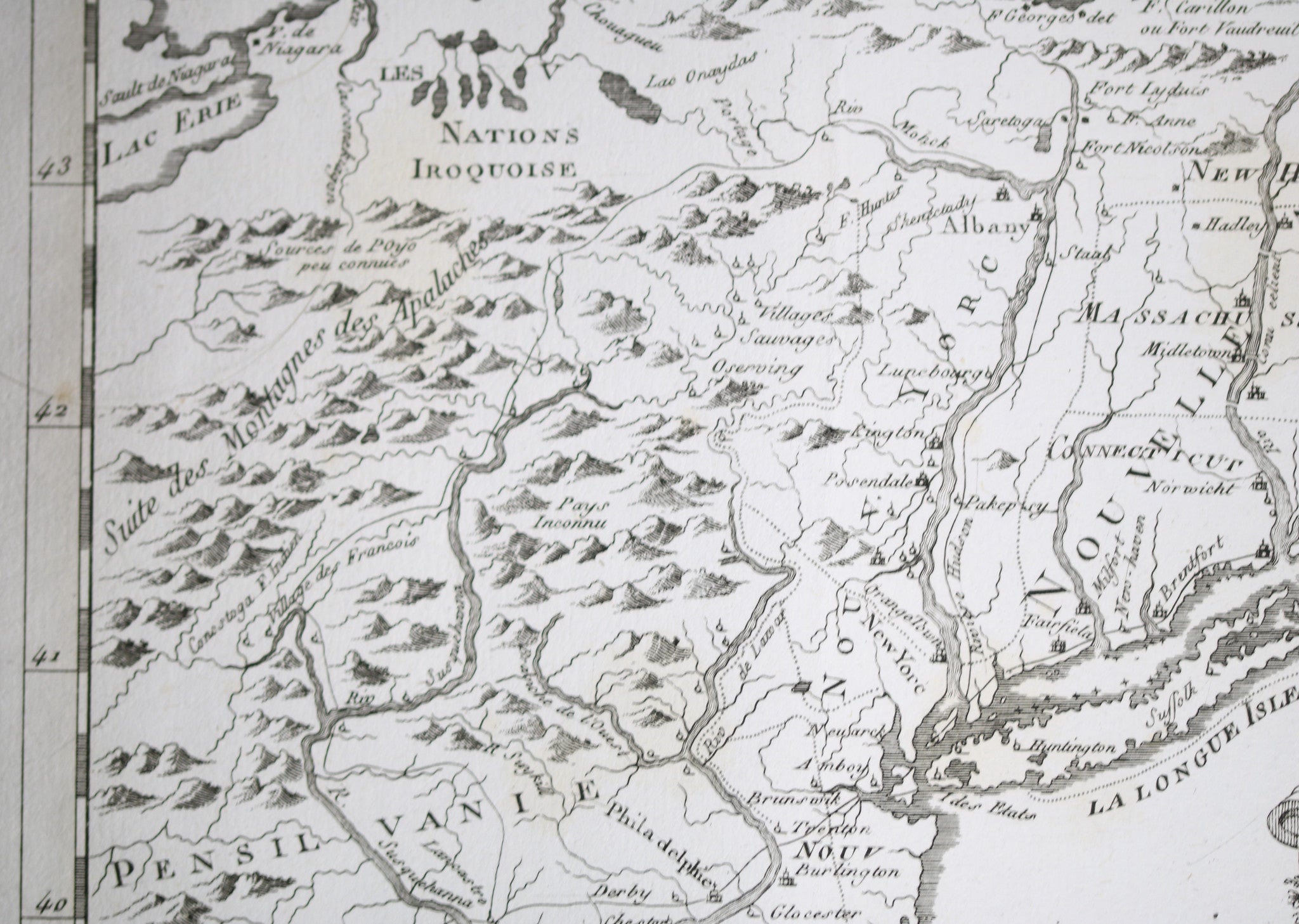
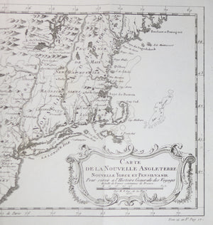
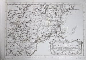
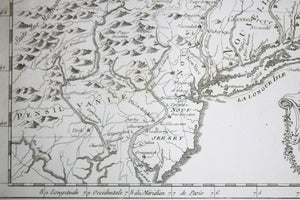
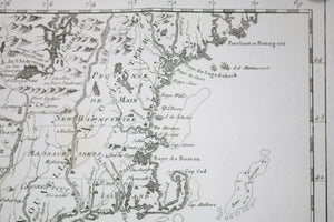
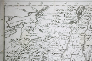
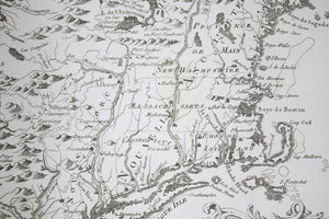
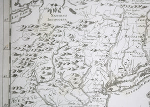
Province (!) of Main, Massachusetts, New Hampshire, Connecticut, Rhode Island, Pennsylvania, New York, New Jersey.
Interesting details in the Map:
Map by Jacques Bellin, famous cartographer, done for Abbé Prevost's Histoire Générale des Voyages.
Two vertical folds, as issued. Some fading, foxing on folds outside of map image. Top edge/UR corner of paper has browning/staining. Couple of light yellow discolorations on map (e.g. by 'NEW of New Hampshire', 'IE of Pensilvanie').
Map image measures 8.0 x 11.5 inches / 20.5 x 29.5 cm.
Will ship rolled inside tube.
Jacques Nicolas Bellin (1703 – 21 March 1772) was a French hydrographer, geographer, and member of the French intellectual group called the philosophes.
Bellin was born in Paris. He was hydrographer of France's hydrographic office, member of the Académie de Marine and of the Royal Society of London. Over a 50-year career, he produced a large number of maps of particular interest to the Ministère de la Marine. His maps of Canada and of French territories in North America (New France, Acadia, Louisiana) are particularly valuable. He died at Versailles.
Bellin contributed a number of maps to 15-vol. Histoire Generale des Voyages of Antoine François Prévost or simply known l'Abbe Prevost.
Jacques-Nicolas Bellin, né Paris en 1703, mort à Versailles le 21 mars 1772, est un cartographe hydrographe français.
En 1721, Bellin est nommé hydrographe du ministère de la Marine à la suite de la création de l’office hydrographique français et du Dépôt des cartes et plans de la Marine. Nommé ingénieur hydrographe en août 1741. Membre de l’Académie de Marine et la Royal Society of London.
Au cours d’une carrière de 50 ans, il est l’auteur d’un grand nombre de cartes et d’atlas. Ses cartes du Canada et des territoires français de l’Amérique du Nord (Nouvelle-France, Acadie, Louisiane) sont d’une valeur considérable.